Rio Bravo Conservation and Management
Attractions
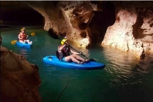
Outdoor Activities
Tours
Established in 1988, the Rio Bravo Conservation and Management Area has accumulated enough land over the years to become the largest terrestrial conservation area in the country that amounts to four percent of all of Belize.
Rio Bravo Conservation and Management
Established in 1988, the Rio Bravo Conservation and Management Area has accumulated enough land over the years to become the
largest terrestrial conservation area in the country that amounts to four percent of all of Belize. On top of this, Rio Bravo is one of the most open conservation areas, and tourists can even stay on property for days or weeks at a time to pitch in and help with conservation efforts.
Set atop the Yucatan Platform, the Rio Bravo is guided by a series of
escarpments that are aligned southwest to northeast.
The conservation team surrounding Rio Bravo offer guided tours, jungle walks, and visits of
Mayan sites for guests. Tourists can also say at the La Milpa Field Research Station to help with conservation and learn about sustainable living.
 Wildlife
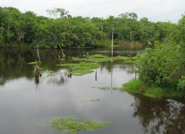
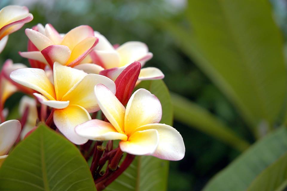
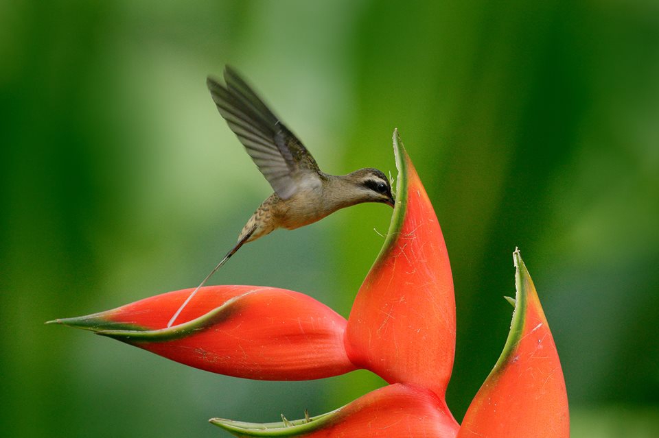
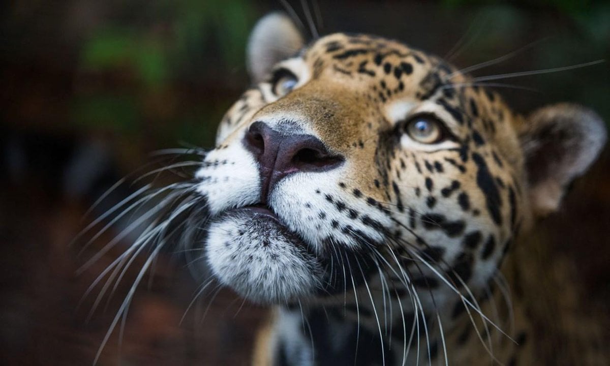
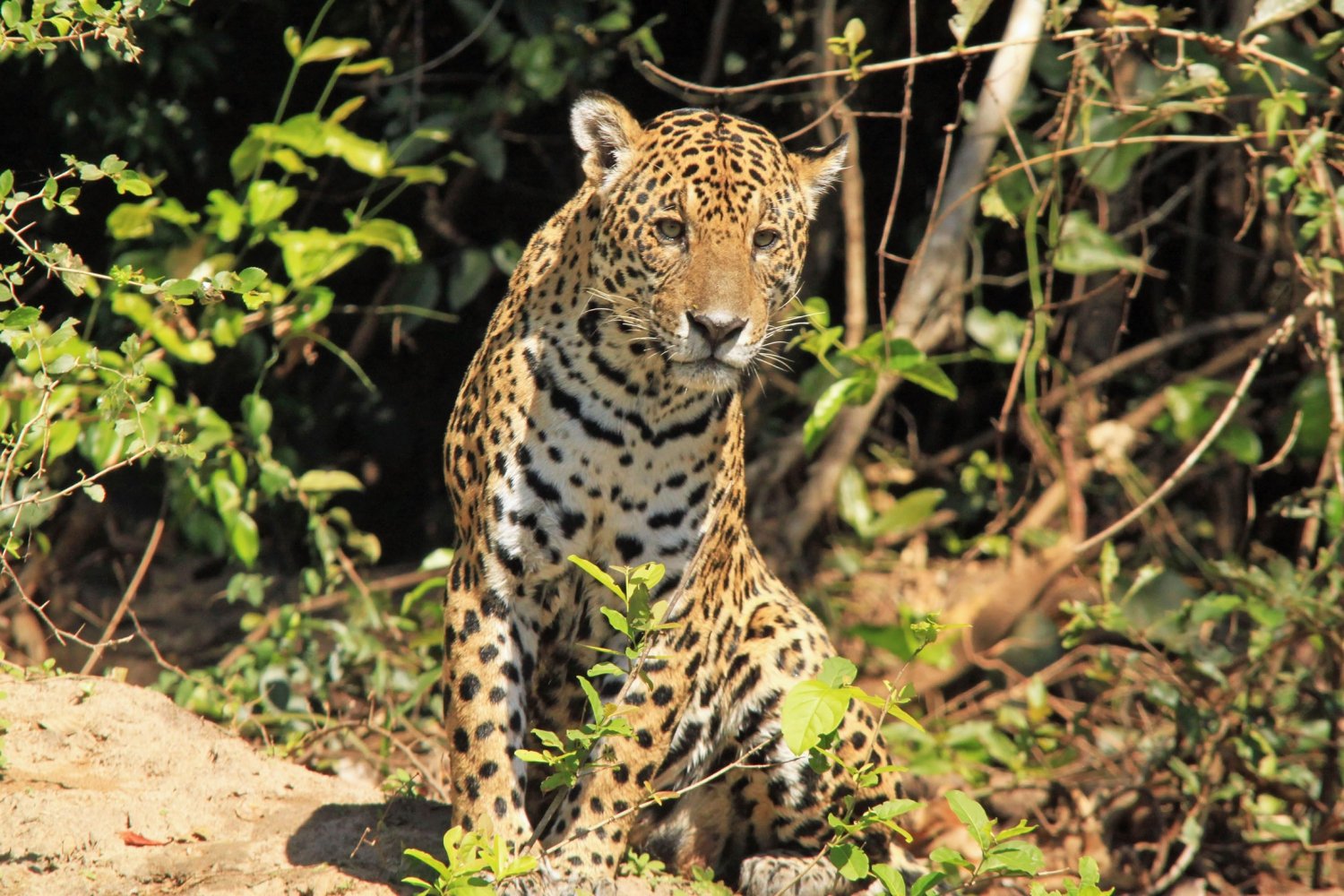
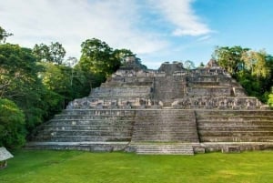
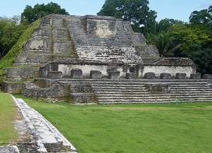
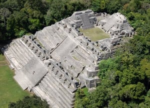
Rio Bravo itself features a variety of habitats that include pine forest, broad-leaf forest, marsh forest, and freshwater lagoon. Within these habitats are almost 400 different species of birds, over 70 species of mammals, 230 species of tree, and many more categories of plants and wildlife that have yet to be categorized. It is also important to know that there are more than 60
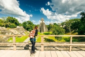
Mayan sites, most of which remain unexplored.
Location
Rio Bravo Conservation and Management is located 12.3 miles south of La Union, a village in Orange Walk District; it's 30 miles (48 kilometers) to the south west of Orange Walk. To get to Rio Bravo, you drive for about an hour southeast from Orange Walk. It is also possible to fly to the private airstrip in Gallon Jug.